Hiking & Walking

Explore the resort and alpine on foot

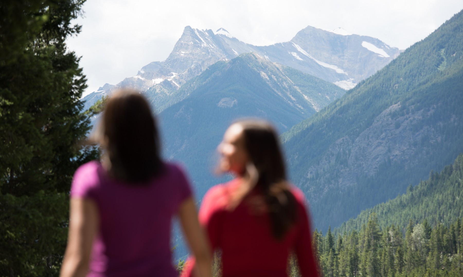
From a leisurely stroll to an adventurous full day hike there are a variety of great walks and hikes at Panorama. Choose your route depending on your energy levels and time frame.

Spring Summer Others Panorama

Back to Listings

More Information

WALKING

The Valley Trail

Free for visitor use, this paved multi-purpose loop is a great summer stroll for the family. From the village, the trail sidles above Greywolf Golf Course before descending to Cliffhanger Restaurant. The remainder of the 3.5km trail winds along the cool waters of Toby Creek. Time: Approx. 1 hour loop.

HIKING

Chairlift Accessed Trails

Elevate your hike with our trails accessed by the Mile 1 Express chairlift. Open Saturday and Sundays May 20 - June 18, then daily from June 24 - September 3, 2023 the Mile 1 Express chairlift is an easy way to get up on the mountain and provides access to five trails of different ability levels. Closed toe footwear (hiking boots are best) and inclement weather clothing is required for this activity. Ride the Mile 1 Express as part of the activity pack. 

ACTIVITY PACK PRICING

  • Mile 1 Express Lift Access Hikes
    Fort Hide N' Seek
    • Difficulty: Easy
    • Duration: 15 - 20 mins
    • Length: 1.5km to fort
    • Elevation Gain: 50 M

    Views of the valley, the village, Greywolf Golf Course and a playing castle is all encompassed in this short but rewarding trail which starts from the top of the Mile 1 Express.

    Lynx Loop Trail
    • Difficulty: Easy / Moderate
    • Duration: 30 mins
    • Length: 1.3 km
    • Elevation Gain/Loss: 50 m

    A short but relatively strenuous hike, the loop starts and ends at the top of the Mile 1 Express.

    Cox Creek Trail
    • Difficulty: Moderate
    • Duration: 1.5 - 2 hours
    • Length: 3.5 km
    • Elevation Loss: 375 m

    From the top of the Mile 1 Express head east. This trail will find its way into the forest along a narrow trail that twist and turns among the trees.

    Panorama Mountain Summit
    • Difficulty: Difficult
    • Duration: 2-3 Hours
    • Length: 4.8 km
    • Elevation Gain: 930 m

    The trail to the summit will make you feel like you are on top of the world. With views of the Purcell and Rocky Mountain Ranges you will have peaks as far as the eye can see.

    Goldie Lake
    • Difficulty: Moderate/Difficult
    • Duration: 2-3 Hours
    • Length: 2.8 km
    • Elevation Gain: 930 m

    From the summit make your way down to a tarn (a mountain lake or pool) surrounded by Tamaracks. Take in the views up to Mt. Goldie, over to the Cannery Chutes and down to Hopeful Creek. This trip involves some ups and downs.

  • No Lift Access Hikes
    Hale Hut
    • Difficulty: Easy
    • Duration: 1 hour
    • Length: 5 km (to the Hale Hut)
    • Elevation Gain: 0 M

    Following the Valley Trail from the Village, navigate accross the suspension bridge to Greywolf Golf Course offering views of Sultana Peak and Monument Peak.

Printed hiking maps can be found at Guest Services or you can view the map here. Click on the map to expand to a PDF.

Trail Conditions Report

  • Hike Difficulty

    Hiking and walking around Panorama Mountain Resort is simply spectacular! Enjoy everything from high mountain lookouts to creekside valley trails all offering varying degrees of difficulty and adventure. The following information were compiled as a reference guide only. We encourage all hikers to take every necessary safety precaution and be appropriately prepared when venturing into the mountains.

    Category Time Description
    Easy 15 to 45 minutes Trails in this category are invigorating walks, suitable for families, and all are within the close vicinity of Panorama Mountain Resort.
    Moderate 45 minutes to 2 hours These hikes are moderate in length. Hikers will encounter uneven trail conditions so decent shoes are a good idea (flip flops not recommended). Due to variations in elevation along the route more physical effort is required. It is a good idea to bring along some water.
    Difficult 2 hours plus These hikes can be considered athletic. Hikers will experience more rugged trail conditions and will enjoy a true wilderness experience. Changes in elevation are substantial so a moderate level of fitness is important. For these hikes consider bringing some food and water with you.
  • Animal Awareness

    Panorama Mountain Resort is surrounded by some of the most rugged mountain terrain in North America. The alpine meadows, forests and valleys are frequented by wildlife. Bears and cougars tend to avoid human-contact so hiking in larger groups and making lots of noise helps avoid aggressive encounters. Wearing bells, talking or singing helps alert animals to your presence without startling them. Do not approach wildlife to take photos. You may consider carrying bear spray; remember that this is a deterrent and not a life-saving device.

    Never hike or bike alone! Travel in groups when venturing away from the village. There is safety in numbers.Wear bells, talk or sing. Bears and cougars tend to avoid human contact, so make noise to let them know you are in the area.Always use animal proof garbage bins. Animals are attracted to garbage and once habituated often have to be destroyed.If you see a deer, remember: Give it plenty of room, During fawning season doe are aggressive and territorial in the protection of their young. Guests with dogs must take extra caution. Fawns are well camouflaged and very difficult to see.If you see a bear or cougar: Remain calm; don't panic. Bring children and pets to your side, never approach the animal and do not run from it. Warn others of the animal’s presence, without yelling.If you’re on Panorama mountain, report the sighting and location to a bike park patroller or lift operator. If you are in the village, call Central Check-In by dialing 0 from any phone in the resort.

  • Before Setting Off

    Always tell someone where you’re going and when you expect to be back. If you intend exploring, carry and know how to use a topographical map and compass. A light waterproof and windproof shell is a bare minimum to combat sudden weather changes during summer and it’s always worth remembering it may be significantly cooler at a destination so extra layers can be very useful. Water may be available along the way, but it is impossible to guarantee its safety and Giardia (beaver fever) is always a risk unless the water is boiled. Carry a suitable amount of water and food depending on your length of hike.

  • Along the way

    Conditions of trails vary wildly depending on the time of year and weather, as well as recent landslides or avalanches. Unless properly trained, never cross an ice field. Even the smallest field can hide fatal crevasses. Creek crossings often employ planks of wood or fallen trees to traverse; if you ever doubt your ability, turn back.

  • Hikers Responsibility Code

    Wherever you hike, no matter what season or whether it’s a short hike or a multi-day trek, be safe.

    Follow the Hiker Responsibility Code

    • You are responsible for yourself, so be prepared with knowledge and gear.
    • Become self-reliant by learning about the terrain, conditions, local weather and your equipment before you start.
    • To leave your plans. Tell someone where you are going, the trails you are hiking, when you will return and your emergency plans.
    • To stay together. When you start as a group, hike as a group, end as a group. Pace your hike to the slowest person.
    • To turn back. Weather changes quickly in the mountains. Fatigue and unexpected conditions can also affect your hike. Know your limitations and when to postpone your hike. The mountains will be there another day.
    • For emergencies. Even if you are headed out for just an hour, an injury, severe weather or a wrong turn could become life threatening. Don’t assume you will be rescued; know how to rescue yourself.
    • To share the hiker code with others.
  • What to bring in your backpack
    • water
    • snack or meal
    • waterproof jacket
    • guidebook
    • map and compass
    • camera
    • sunglasses
    • sunscreen
    • first aid kit
    • insect repellent
    • knife
  • More Hikes
    Hikes in the Columbia Valley Region

    If you are looking for more hiking trails in the area check out the Columbia Valley Greenways Trail Alliance (CVGTA).

    Trail Finder

Guided Hikes

Explore the beauty of the backcountry

Explore stunning trails around the Columbia Valley and in the Purcell Mountains with the expert guides at Playwest Mountain Experience. From summit fondue to wetland trails to spectacular full day adventures and epic multi-day trips.

DISCOVER MORE

Back to Listings

View Reports -2°
Search + Shop
Forecast

Today

Cloudy with sunny periods and isolated flurries.

Freezing level: 1600 metres.

Ridge wind light to 20 km/h.

-4°c
Current Weather

12:10PM 21 November, 2024

Village1180m

-2°c

Mid Mountain2160m

-5°c

Summit2365m

-7°c
Lifts, Trails & Grooming

0/144

Trails Open

1/10

Lifts Open

0

Groomed Runs

Shop Now +
9